
Tracing Oklahoma County Streets
Work from the address outward. In Oklahoma County, the Assessor search is the quick way to reach a parcel account, its situs, legal description, PIN, current owner label, billing address, and a short deed-transaction trail. The parcel is then a bridge to the County Clerk rather than a final answer. The Clerk, acting as Registrar of Deeds, keeps the recorded instrument that can verify a conveyance. A known individual can be checked through the Oklahoma Voter Portal, while a historic address can be pursued through Oklahoma Historical Society directory material. This order keeps the record trail tied to a place and prevents a tax mailing address or a single web result from being treated as proof of present residence.
- Enter the physical address in the Oklahoma County Assessor property search. A block, directional, and street name work better than a bare street name, and the county gives partial-address examples such as a block with a percent wildcard.
- Open the parcel card. Note the situs, PIN, addition, block, lot, current owner label, and deed-table clues. Keep the parcel location separate from the tax billing address.
- Use the owner, legal description, deed book and page, or recording date to search the Oklahoma County ROD/UCC portal. Confirm the actual deed or other instrument before making a title claim.
- For a known person only, use the Oklahoma Voter Portal with first name, last name, and date of birth. It is a registration check, not a street-wide roster.
- When the question is historical, search Oklahoma Historical Society directories by city and year. The directory record can supply an older address or occupant lead, then the parcel and deed records can be compared by date.
That address-to-owner-to-deed-to-voter-to-directory sequence is the practical core of a by-address search. Stop where the evidence stops. A gap is useful information, especially when the address has changed, the parcel is vacant, or a record uses an older street name.
Oklahoma County Street Directory Records
Address-keyed sources overlap, but they are not interchangeable. Oklahoma County parcel records describe assessed property, the Clerk’s instruments describe recorded transactions, and city tools add geographic or municipal context. The table shows what each source can reasonably establish along a street and where its limits begin.
| Address record | Oklahoma County keeper | Useful result | Access and limit |
|---|---|---|---|
| Property parcel | County Assessor | Owner label, situs, PIN, legal description, value, structure, billing address | Free search; not title proof or a full household list |
| Street and parcel GIS | OKC GIS / Assessor GIS | Parcel geometry, street ranges, boundaries, districts, imagery, and zoning context | Free map; geometry is not a legal survey |
| Recorded instrument | County Clerk, Registrar of Deeds | Deeds, mortgages, liens, plats, releases, and party roles | Public portal and office; online indexing can lag recording |
| Permit and address route | Oklahoma City Citizen Access | Permit number, type, date, address, status, and related municipal work lead | Free search; default view is recent although records reach back to 1983 |
| Historic directory lead | Oklahoma Historical Society | Older address-to-occupant, business, spouse, or profession clues | Search by city and year; reverse-directory coverage is not confirmed |
A PIN or legal description often connects the first three Oklahoma County street sources. Street text connects the GIS and permit routes. Neither link establishes a complete current household. The most reliable result states what kind of record it is and the date it represents.
Note: Newly recorded instruments can take time to appear online, so an important deed should be checked with the County Clerk before it is relied on.
Oklahoma County Assessor Street Search
The Oklahoma County Assessor portal is the fullest public street-search form in the local record chain. Physical Address, Name, account numbers, subdivision, block, lot, map number, deed book and page, and Occupant/Bldg Name each open a different route. Name searches are surname-first, case-insensitive, and punctuation-free. Selected text fields accept percent wildcards. Account numbers do not. For a property without a physical street address, addition, block, lot, section, township, range, or map number may be the only practical path.
| Assessor field | Input | Needed | Oklahoma County search note |
|---|---|---|---|
| Physical Address | Text | Optional | Use block, directional, and street; partial text and percent use are supported. |
| Name | Text | Optional | Surname first, no punctuation; a wildcard example is Smith J%. |
| Real, Personal, Central Acct # | Text | Optional | Real starts R plus nine digits, personal P plus seven, central C plus seven to ten. |
| Subdivision, Block, Lot | Text | Optional | Use addition name and three-digit block or lot guidance where known. |
| Map # | Text | Optional | Four-digit quarter-section map number; county guidance gives a 1001 to 4944 range. |
| Deed Book & Page | Text pair | Optional | Use a known citation to return to a parcel account. |
| Occupant/Bldg Name | Text | Optional | A text route, not a complete directory of people at the parcel. |
The Assessor’s sample parcel card shows why labels need care: it can display owner names, a situs, PIN, billing address, value history, structure details, exemptions, and transaction columns for date, type, book, page, price, grantor, and grantee. Those fields make strong research leads. The County Clerk deed remains the definitive legal-description record.
- Parcel
- An assessed tract or account that the County uses to organize property data.
- Situs address
- The physical location on the parcel card, distinct from an owner’s billing address.
- Plat
- A recorded map that lays out lots, blocks, streets, or additions.
- Criss-cross directory
- A historical reverse directory arranged by address rather than by a person’s name.
Oklahoma County GIS Street Ranges
Oklahoma City’s public street GIS layer shows why a geocoded point and a loose street-name search can differ. Its STR_NAME field identifies the street name, LEFTADD1/2 and RGTADD1/2 give valid address ranges on each side, and other fields describe street class, facility or street ID, and maintenance responsibility. The broader GIS entry point also provides parcels, geocoding, city boundaries, school and political districts, floodplain, contours, imagery, zoning or typology, and buffer analysis such as a 300-foot notice radius.
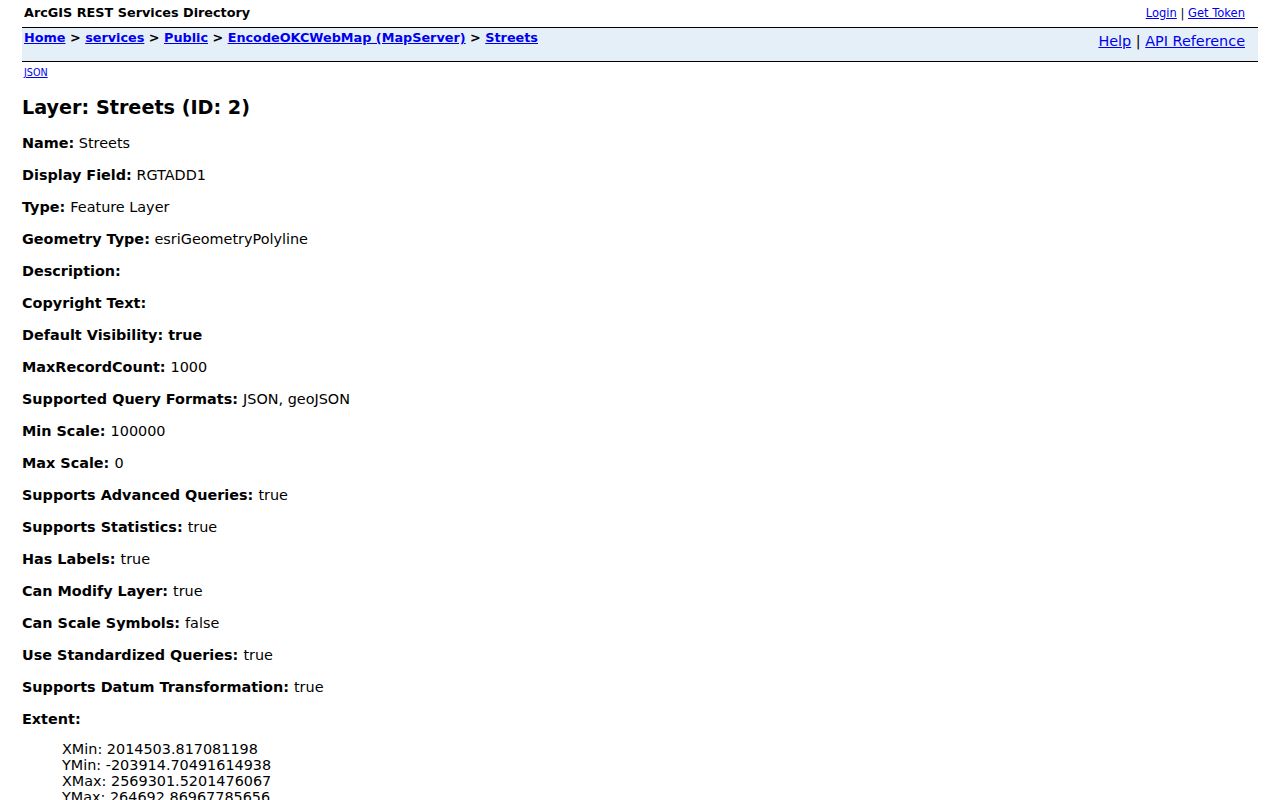
The layer is valuable for Oklahoma County street-range context, not for proving title or residence. Save the geocoder’s candidate score and location when an address match matters. Then compare the result with the parcel card and, if needed, the recorded instrument.
Oklahoma County Street Deed Chains
A parcel search becomes a title search only when it reaches the County Clerk. Start with the Assessor card’s current owner label, legal description, PIN, and transaction-table clues. In the ROD/UCC portal, look for the actual instrument through grantor and grantee names, book and page, instrument type, and an approximate recording date. From a confirmed deed, the seller or grantor can be searched as grantee in an earlier conveyance. Repeat the process only while the instrument trail continues.
The County Clerk says it holds title and lien records from first federal patents through territorial records and the present. Online results may lag after recording, and some records have redactions. The live portal’s complete current field labels and online coverage cutoff were not confirmed in the research, so a missing screen result is not proof that an older instrument does not exist. The office is the fallback for copies, certification, and records that need direct verification.
The County Clerk ROD/UCC public portal is the online entry point for that step.
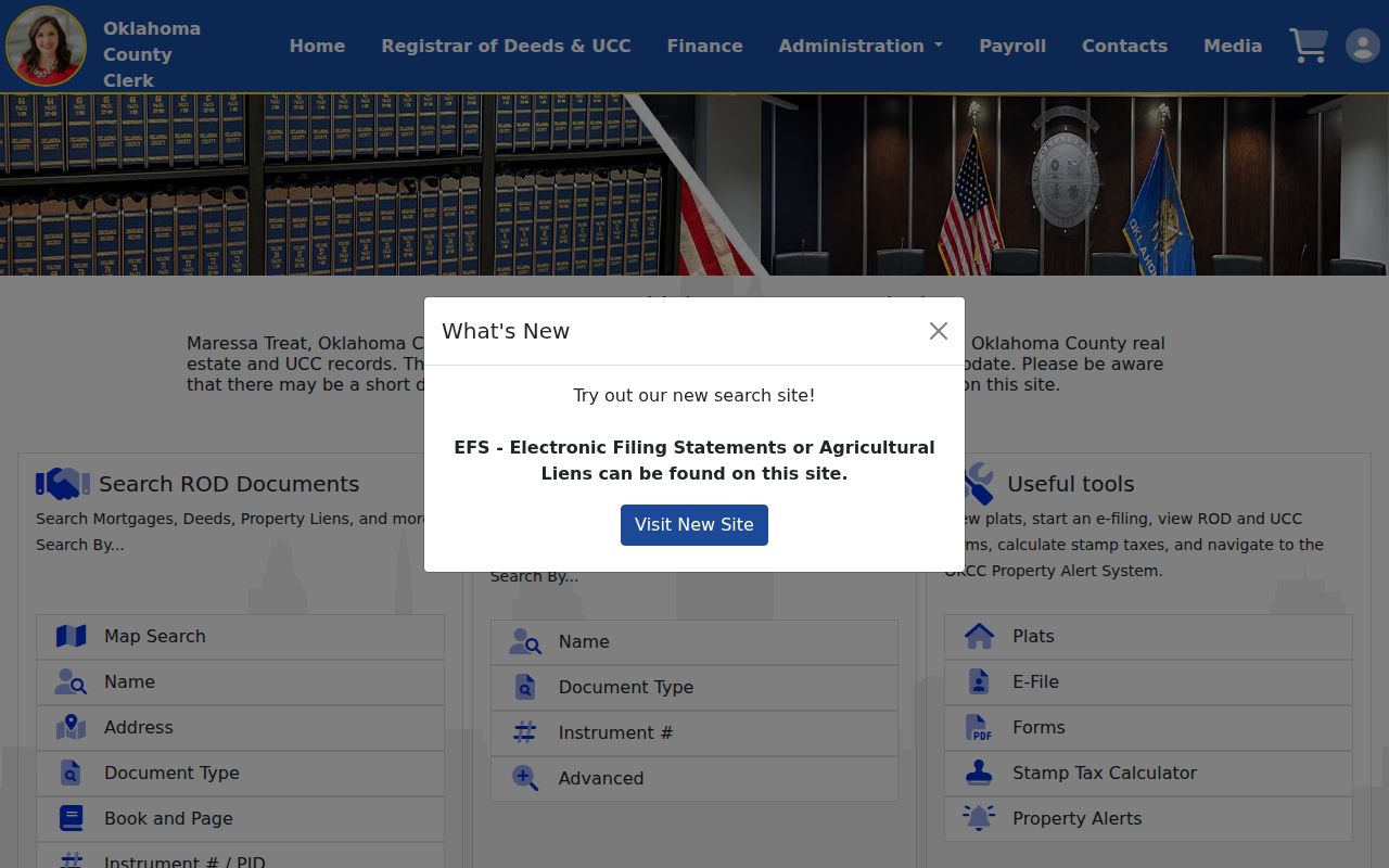
For Oklahoma County street research, the portal image represents the recorded-instrument layer, not a guarantee that a parcel card, a mailing address, or a prior grantee identifies a present resident.
Oklahoma County Street Property Alerts
An owner who wants notice of a document affecting a registered account can use the Oklahoma County property-alert service. Registration supports notification by text message, email, or automated phone. The service is a practical personal-use layer beside the recorded-instrument search because it tells a registrant to check the Clerk’s record when an alert arrives.
An alert does not certify title, decide fraud, or replace a Clerk search. It is a notice service. The document, parties, recording date, and any redaction must still be checked through the official deed route or with the County Clerk’s office.
Oklahoma County Address Permits
Municipal address tools add a different kind of context. Oklahoma City Citizen Access accepts permit number, type, application name, date range, street number, direction, street name, street type, ZIP, and unit details. Its public search reports a default display of twelve years and states that records reach back to 1983. Permit dates can establish a work or alteration chronology. They do not establish occupancy.
The city’s zoning map accepts an address, intersection, or case number. Quick Links and the address map can add ward, school district, neighborhood association, and service context. Check the physical jurisdiction first because Oklahoma County includes many municipalities and unincorporated land with separate custodians.
Oklahoma City’s zoning lookup is a useful companion when a street search needs planning context.
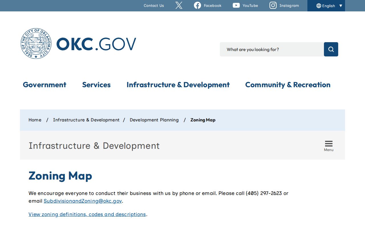
Use that Oklahoma County map layer to identify a map or case route, then ask the named city or county office for the underlying record when it is not available online.
Oklahoma County Historic Street Names
Older Oklahoma County address research can fail because the street label changed. The Oklahoma SHPO downtown survey documents several examples: NW 3rd became Dean A. McGee after 1975, NW 2nd became Robert S Kerr between 1955 and 1964, and NW 1st became Park Avenue between 1952 and 1955. N Missouri became N Lee during the 1904 to 1922 period, and N Dewey had earlier Colcord and Brusha segments. Search both the historic and current names when an address appears to disappear from a directory or newspaper index.
The Oklahoma City hundred-block convention also helps place a numbered street, but a postal label still does not settle municipal jurisdiction. For the historic-address side of the trail, the Oklahoma County Directory Book has the collection-focused path for city and year searches. Here, the old name is used only to keep the modern address chain from breaking.
Oklahoma County Voter Routes
There is no public voter-by-street browser in Oklahoma County. The Oklahoma Voter Portal requires a first name, last name, and date of birth for a known-person registration check. It can return registration, polling, district, sample-ballot, and related election-service information under its own result rules. Treat any result as a registration record, not proof that a person is at the address today.
A full voter-list request follows a separate route through the Election Data Warehouse form. It requires contact information, qualifying-status attestations, signature and date, and it limits use and redistribution. Protected fields include driver-license or state-ID data, Social Security information, application source, and signatures. The county election-board directory is the right contact path when the portal cannot answer an authorized records question.
Note: The public portal helps verify a known registration; it is not a tool for compiling a street roster.
Oklahoma County Street Record Limits
Public Oklahoma County address records can connect related sources, but they cannot show a complete household, current presence, family relationship, or private customer record. Assessor owner fields, tax mailing addresses, and historical grantees serve different purposes. A blank or filled Occupant/Bldg Name field is not a household roster. GIS geometry is not a legal survey. Postal confirmation is not proof that a person receives mail there. The research did not identify utility customer lists or delivery records as public sources, and driver-address data is restricted.
Oklahoma County Street Record Requests
When an online search stops, name the custodian and ask for the narrowest record that fits the address. The County Clerk can handle recorded-instrument copies and certification. The Assessor can clarify parcel-search routes. Oklahoma City records requests cover city-held material, while archives access uses an appointment or research-request route for selected city series. County records requests are available under the Oklahoma Open Records Act request route, Title 51 §§24A.1–24A.33.
Include the street address, historic name variant if known, date span, record type, preferred delivery, and a fee ceiling. Copying, certification, media, search, and legal-review charges can apply. That specificity gives the office a usable request without asking it to infer a broad personal profile from an address.